Our Profil
At the Institute of Meteorology and Climate Research Atmospheric Trace Gases and Remote Sensing (IMKASF) four methods are developed to observe and understand the Earth’s atmosphere:
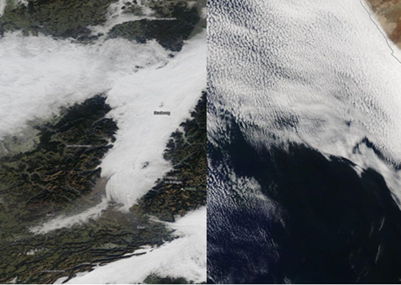
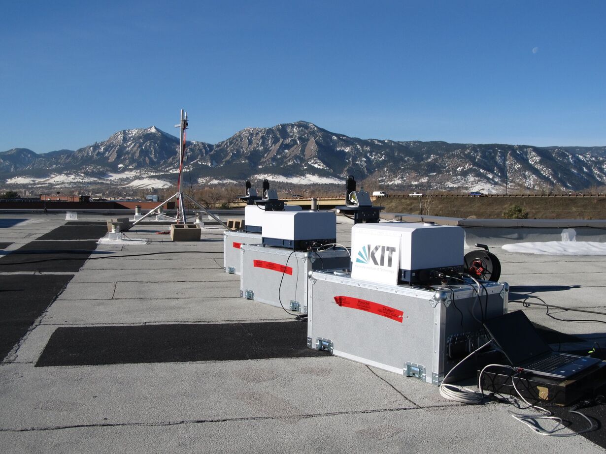
- optical measurements from ground-based stations, in particular to observe long-term changes,
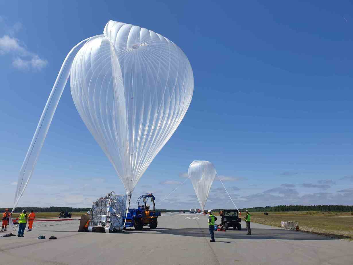
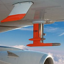
- spatially highly-resolved measurements using instruments on board of stratospheric balloons and aircrafts,
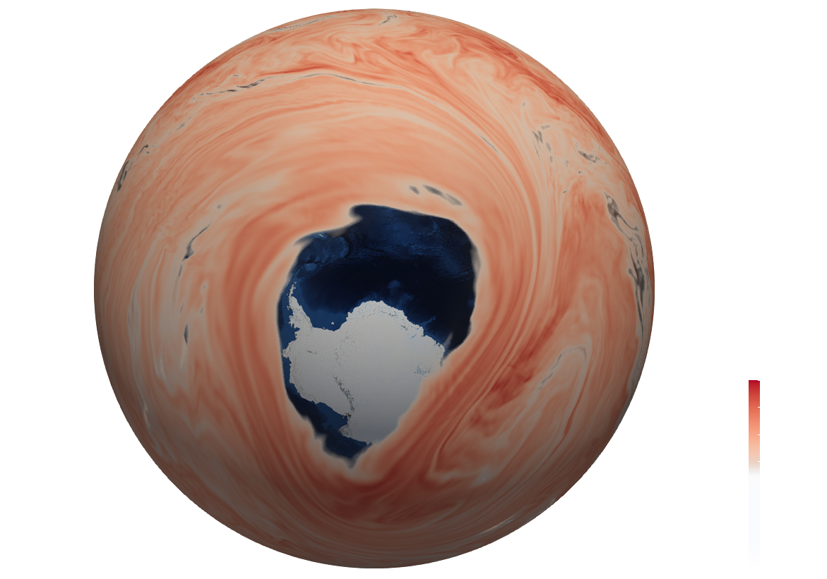
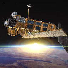
- satellite-based measurements that provide excellent spatial (up to global) coverage,
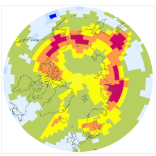
- regional and global numerical models for the interpretation of the measurements.
The IMKASF has close interactions with the other Institutes of Meteorology and Climate Research (IMKTRO, IMKAAF, IMKIFU) and has long-standing collaborations with leading research groups in Europe (Germany, France, Spain, Italy, UK, Sweden, Belgium, The Netherlands,...) and world-wide (USA, Canada, Japan, Venezuela, Ethiopia, Brazil,...), as well as with various international organizations (ESA, CNES, NASA, EUMETSAT, WMO, COSPAR,...) and industry (EADS Astrium, Bruker,...).
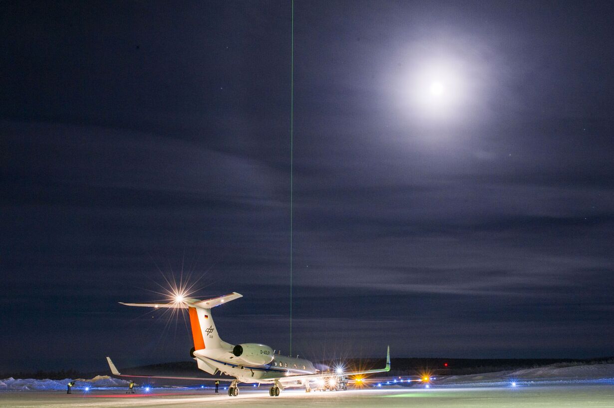
Section of remote sensing of trace species from aircraft, balloons and satellites as well as in-situ measurements onboard aircraft.
More information